Deliverables
-
ACHIEVEMENTS AND RESULTS
To encourage the dissemination of all the data and achievements reached within the MARsite project, we summarized them in a brochure.
This brochure is designed and formatted to be read by... -
DATA DISSEMINATION REPORT
This report aims at giving a non exhaustive overview of the accomplishments in terms of data dissemination. In order to do so, we will first analyse the communication tools at...
-
D 11.1 Public Web Page
D 11.1 Public Web Page Submitted
-
D1.2 Kick Off Meeting Report
D1.2 Kick Off Meeting Report Submitted
-
D1.3 Midterm Review Workshop report
D1.3 Midterm Review Workshop Report
-
D1.4 Annual public report -1
D1.4 Annual public report -1
-
D1.5 Annual public report -2
MARSite_D1 5_Annual_Public_Report2014
-
D1.6 Annual public report -3
-
D2.1 Report on multi-parameter data collection and integration from the Marmara area
MARsite_D2.1 Report on multi-parameter data collection and integration from the Marmara area
-
D2.2 Report on the status and improvement of the continuous fluid monitoring system
MARsite WP2-Deliverable D2.2 Report on the status and improvement of the continuous fluid monitoring system
-
D2.3 Report on multi-parameter data analysis including natural degassing distribution (CO2, CH4, Rn)
-
D2.4 Report on interpretative models for correlating gas, crustal deformation and seismic activity
MARsite D2.4Report on interpretative models correlating gas, crustal deformation and seismic activity
-
D3.1 GPS Time Series and Velocity Maps
D3.1_GPS Time Series and Velocity Maps30042014
-
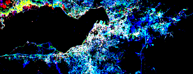
D3.2 Deformation map obtained by applying the SBAS and/or PSI technique to a sample C-band SAR data set
D3.2 Deformation map obtained by applying the SBAS andor PSI technique to a sample C-band SAR data set
-
D3.3 Deformation map obtained by applying the SBAS and/or PSI technique to a sample X-band SAR data set
D3.3 Deformation map obtained by applying the SBAS
-
D3.4 Deformation map obtained by applying the SBAS and/or PSI technique to a sample L-band SAR data set
D3.4 Deformation map obtained by applying InSAR technique to a sample L-Band SAR dataset
-
D3.5 Deformation time series obtained by exploiting C-band data from Terrafirma project
D3.5 Deformation time series obtained by exploiting C-band data from Terrafirma project
-
D3.6 Deformation maps obtained from the harmonization of InSAR and GPS data integration
D3 6Deformation maps obtained from the harmonization of InSAR and GPS data integration
-
D3.7 Identification and localization of primary and secondary fault branches
D3.7 Identification and localization of primary and secondary fault branches
-
D3.8 Release of subsampling & modelling routines analytical model & 3-D numerical model of the observed d
Deliverable 3.8. Release of subsampling & modelling analytical model & 3-D numerical model of the observed displacements
-
D3.9 Temporary license of the updated SARscape advanced InSAR processing chain, including the support o
D3.9 Temporary license of the updated SARscape advanced InSAR processing
-
D3.10 Report on methods and algorithms implemented for supporting advanced DInSAR processing and validatio
D3.10 Report on method and algorithms implemented for supporting advanced DInSAR processing and validation of displacement time series obtained on the test site based on Sentinel-1 data
